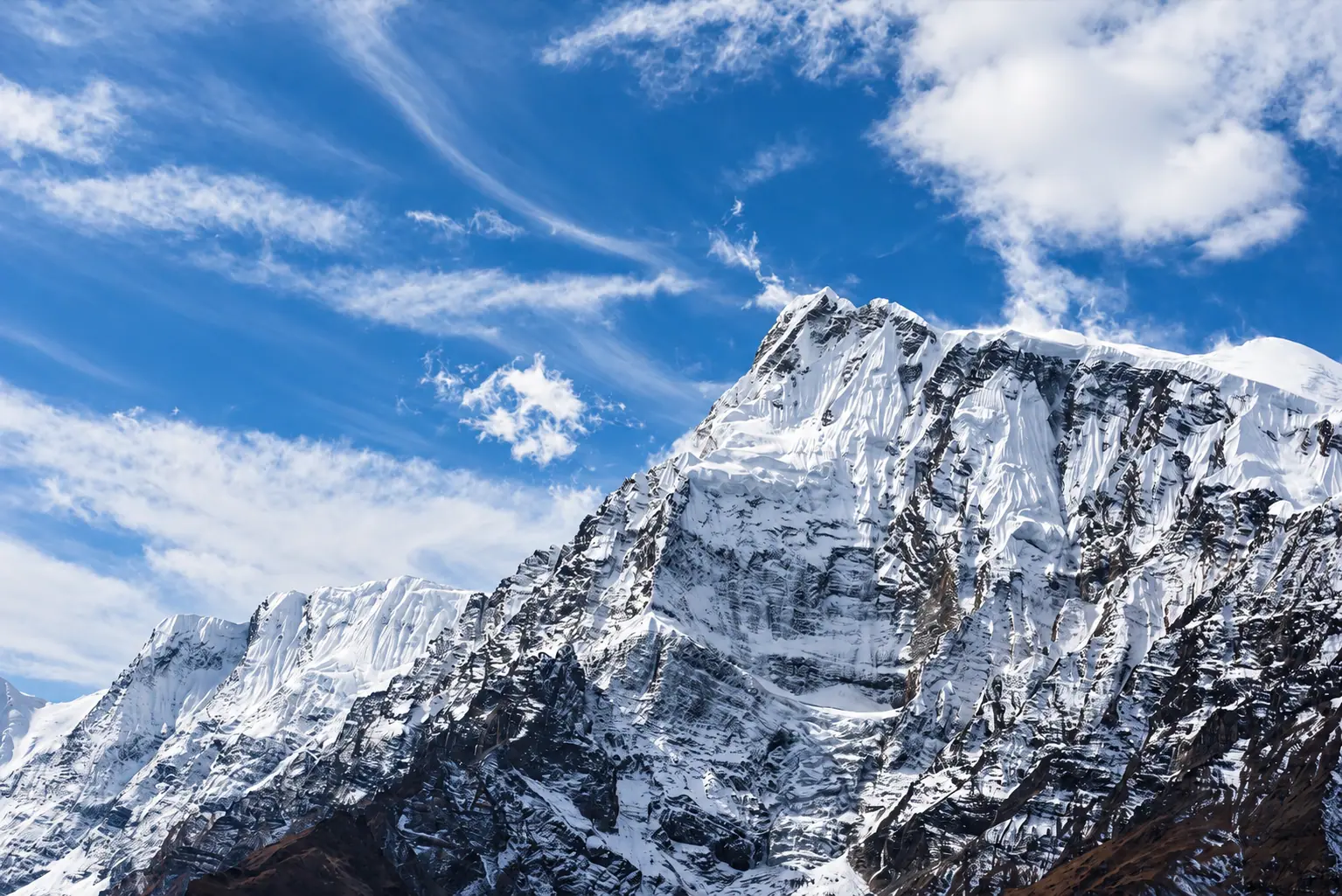
अन्नपूर्ण परिक्रमा · Annapurna
Annapurna Circuit
A full turn around the Annapurna massif, from rice terraces to a 5,416 m pass and down into the desert of Mustang.
Duration
12 to 16 days
Highest point
Thorong La, 5,416 m
Grade
Hard
Best season
Mar to May, Oct to Nov
Total ascent
About 4,700 m
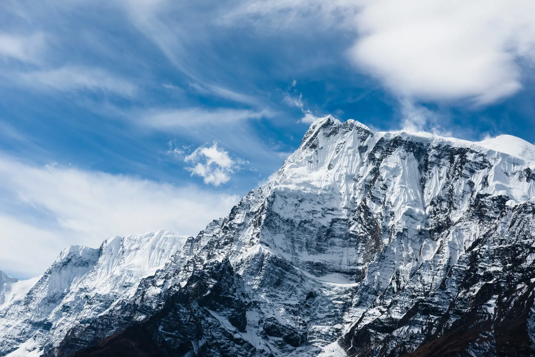
Photograph by Udhabkc, CC BY-SA 4.0
The walk
The circuit climbs the Marsyangdi valley from subtropical farmland through Gurung villages and pine forest to Manang, a stone town at 3,540 m where most people spend an extra day to acclimatise.
The crossing of the Thorong La starts in the dark from Thorong Phedi or High Camp. It is long and cold, and the descent to the temple town of Muktinath is steep.
The far side drops into the Kali Gandaki, the deepest gorge on earth, through Kagbeni and apple orchards at Marpha. Roads now reach much of the route, and good itineraries follow the newer trails that avoid them.
Starts from Besisahar, by road from Kathmandu or Pokhara
The route, stage by stage.
Fly it on the 3D map- ०१Besisahar760 m
- ०२Dharapani1,860 m · +1,100
- ०३Chame2,670 m · +810
- ०४Pisang3,200 m · +530
- ०५ManangTwo nights. Acclimatisation day3,540 m · +340
- ०६Yak Kharka4,050 m · +510
- ०७Thorong Phedi4,450 m · +400
- ०८Thorong LaCross before the midday wind5,416 m · +966
- ०९Muktinath3,800 m · −1,616
- १०JomsomFly or drive to Pokhara2,720 m · −1,080
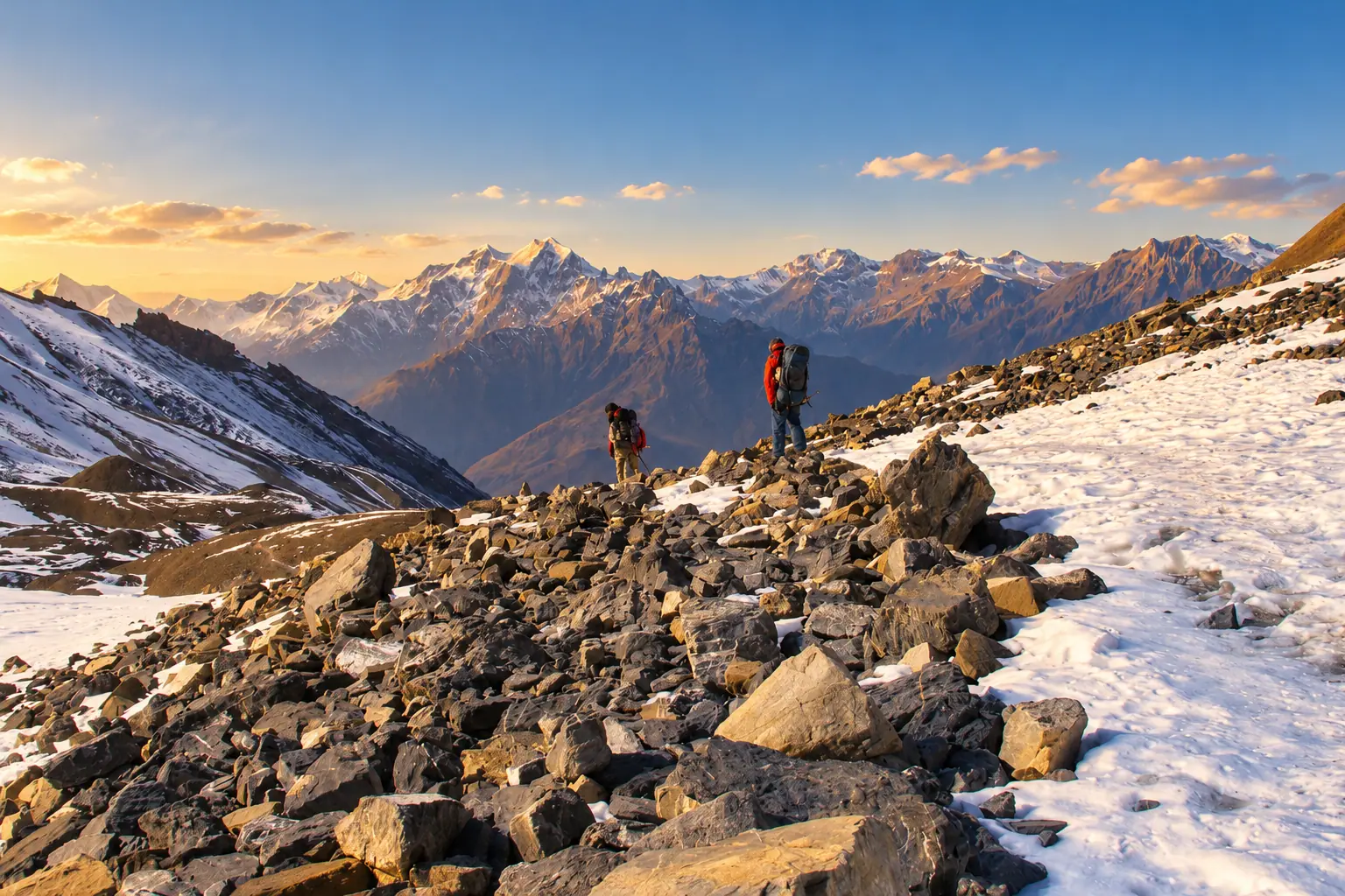
Adapted from a photograph by Vyacheslav Argenberg, CC BY 4.0
Permits
What you pay at the counter.
- Annapurna Conservation Area permitNPR 3,000
- TIMS cardNPR 1,000
Fees as published by the issuing office. Check them again before you travel.
Highlights
Manang and the Gangapurna lake
The Thorong La crossing
Muktinath temple
Thakali food in Marpha
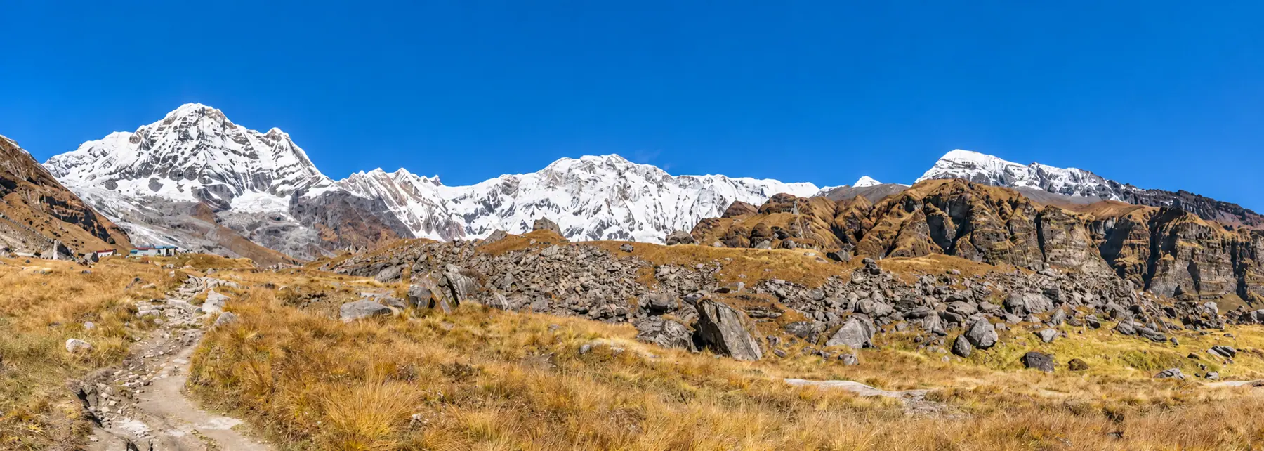
Next route
Annapurna Base Campअन्नपूर्ण आधार शिविर