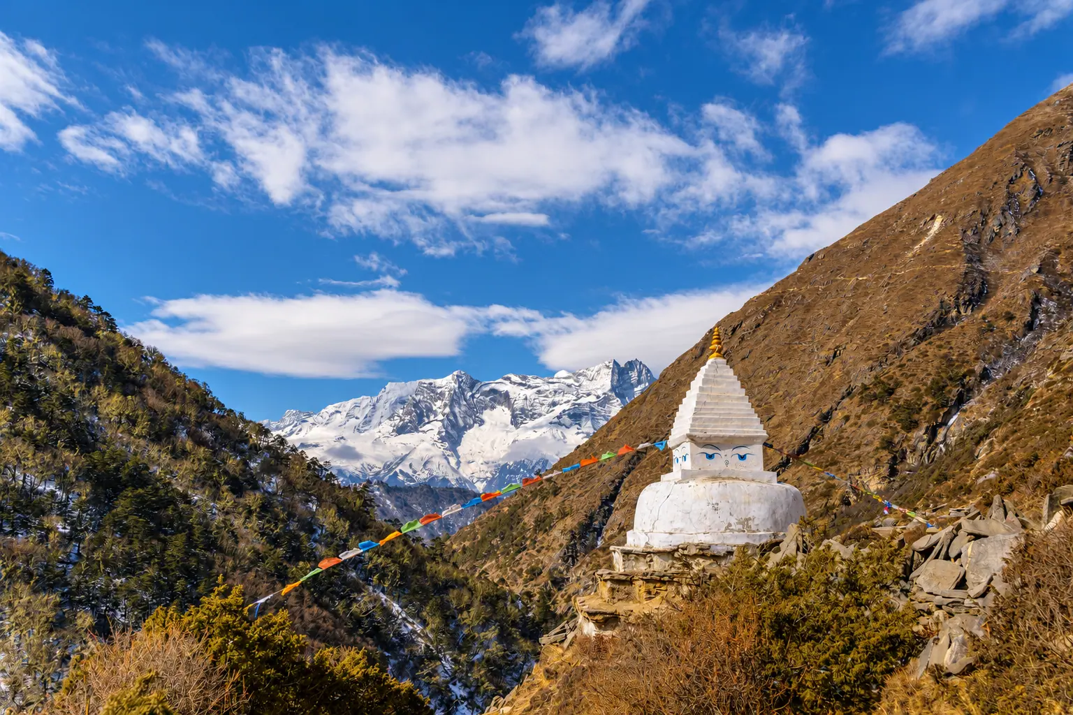
सगरमाथा आधार शिविर · Khumbu
Everest Base Camp
Through Sherpa villages and monasteries to the foot of the highest mountain on earth.
Duration
12 to 14 days
Highest point
Kala Patthar, 5,644 m
Grade
Hard
Best season
Mar to May, Oct to Dec
Total ascent
About 3,000 m
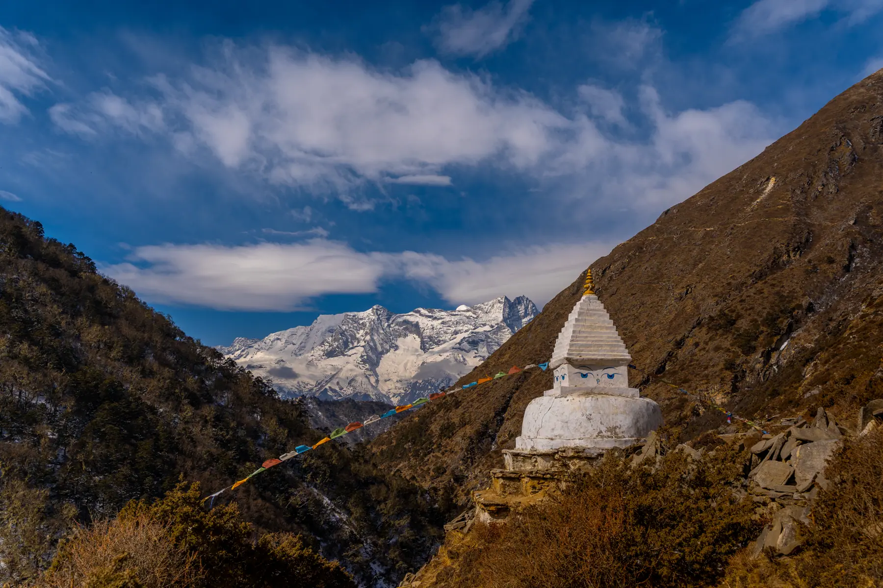
Photograph by Babin Dulal, CC BY-SA 4.0
The walk
The walk begins with one of the most famous flights in the world, onto the short sloping strip at Lukla. From there the trail follows the Dudh Koshi river up through pine forest and suspension bridges to Namche Bazaar, the market town of the Khumbu.
Above Namche the valley opens. Tengboche monastery sits on a ridge facing Ama Dablam, and the villages thin out into yak pastures and stone lodges. Two rest days, at Namche and Dingboche, let the body adjust to the altitude.
Base camp itself sits on the Khumbu glacier, among tents in spring and empty in autumn. The view of Everest comes from Kala Patthar, a dark hill climbed in the cold before sunrise.
Starts from Lukla, by air from Kathmandu or Ramechhap
The route, stage by stage.
Fly it on the 3D map- ०१Lukla2,860 m
- ०२Phakding2,610 m · −250
- ०३Namche BazaarTwo nights. Rest day hike to the Everest View Hotel3,440 m · +830
- ०४Tengboche3,867 m · +427
- ०५DingbocheTwo nights. Rest day hike up Nangkartshang4,410 m · +543
- ०६Lobuche4,940 m · +530
- ०७Gorak ShepAfternoon walk to base camp5,164 m · +224
- ०८Everest Base Camp5,364 m · +200
- ०९Kala PattharPre-dawn climb, then down to Pheriche5,644 m · +280
- १०Pheriche4,371 m · −1,273
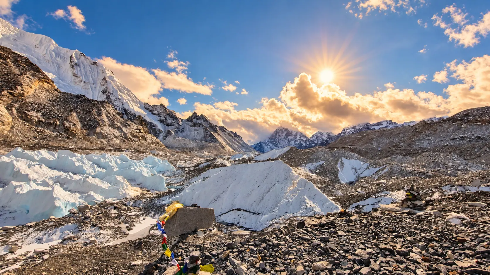
Adapted from a photograph by Billjones94, CC0
Permits
What you pay at the counter.
- Sagarmatha National Park entryNPR 3,000
- Khumbu Pasang Lhamu municipality feeNPR 2,000
Fees as published by the issuing office. Check them again before you travel.
Highlights
Tengboche monastery at dawn
Ama Dablam from Dingboche
The Khumbu icefall from base camp
Everest at sunrise from Kala Patthar
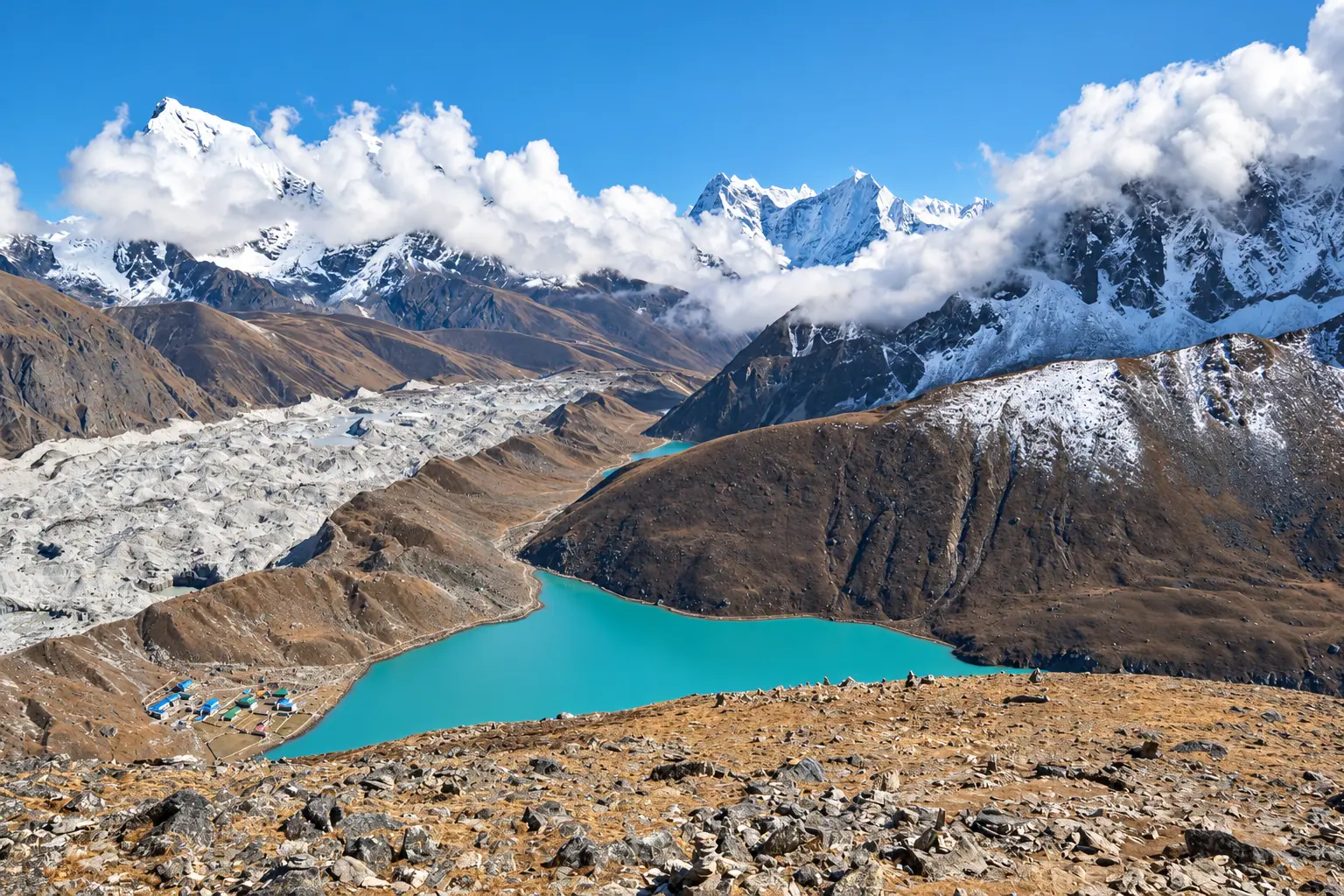
Next route
Gokyo Lakesगोक्यो ताल