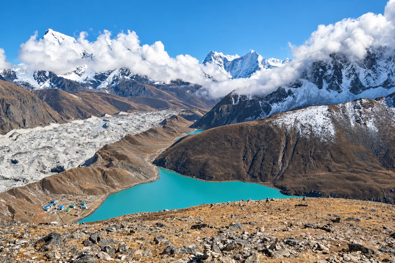
गोक्यो ताल · Khumbu
Gokyo Lakes
Turquoise lakes beside the longest glacier in the Himalaya, and four eight thousanders from one summit.
Duration
12 to 14 days
Highest point
Gokyo Ri, 5,357 m
Grade
Hard
Best season
Mar to May, Oct to Dec
Total ascent
About 2,700 m
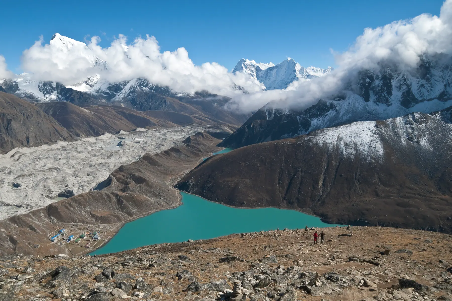
Photograph by Vyacheslav Argenberg, CC BY 4.0
The walk
The Gokyo valley branches off the Everest trail above Namche and is far quieter. The path climbs through rhododendron and juniper to summer yak pastures at Dole and Machhermo.
Six main lakes lie between 4,700 and 5,000 metres beside the Ngozumpa glacier. Gokyo village sits on the shore of the third.
Gokyo Ri, climbed before dawn, shows Everest, Lhotse, Makalu and Cho Oyu at once. Fit trekkers can cross the Cho La to join the Everest trail.
Starts from Lukla, by air
The route, stage by stage.
Fly it on the 3D map- ०१Lukla2,860 m
- ०२Phakding2,610 m · −250
- ०३Namche BazaarTwo nights3,440 m · +830
- ०४Dole4,040 m · +600
- ०५MachhermoRest day4,470 m · +430
- ०६GokyoTwo nights. Walk to the fourth lake4,790 m · +320
- ०७Gokyo Ri5,357 m · +567
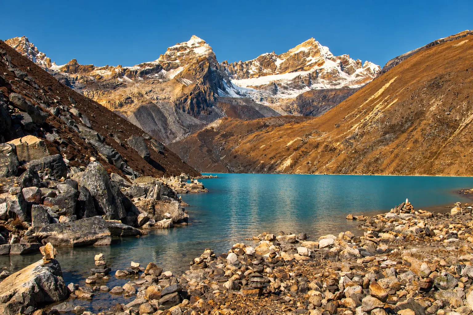
Adapted from a photograph by Vyacheslav Argenberg, CC BY 4.0
Permits
What you pay at the counter.
- Sagarmatha National Park entryNPR 3,000
- Khumbu Pasang Lhamu municipality feeNPR 2,000
Fees as published by the issuing office. Check them again before you travel.
Highlights
The third lake at Gokyo
Sunrise from Gokyo Ri
The Ngozumpa glacier
Optional crossing of the Cho La, 5,420 m
Next route
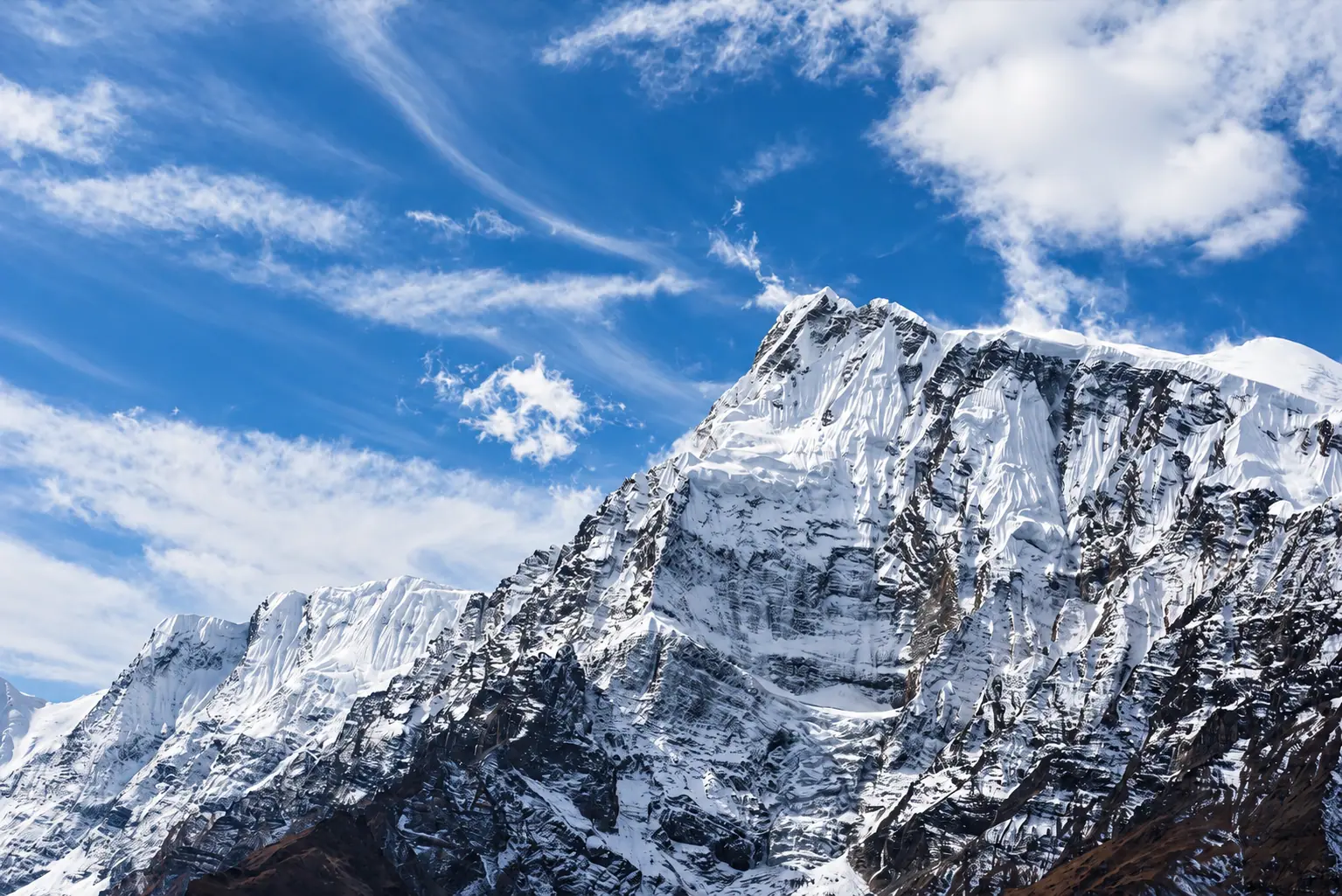
Annapurna Circuitअन्नपूर्ण परिक्रमा