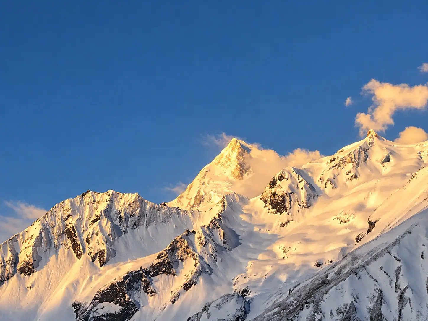
मनास्लु परिक्रमा · Gorkha
Manaslu Circuit
Around the eighth highest mountain, through a restricted valley that still sees few trekkers.
Duration
14 to 16 days
Highest point
Larkya La, 5,106 m
Grade
Very hard
Best season
Mar to May, Sep to Nov
Total ascent
About 4,200 m
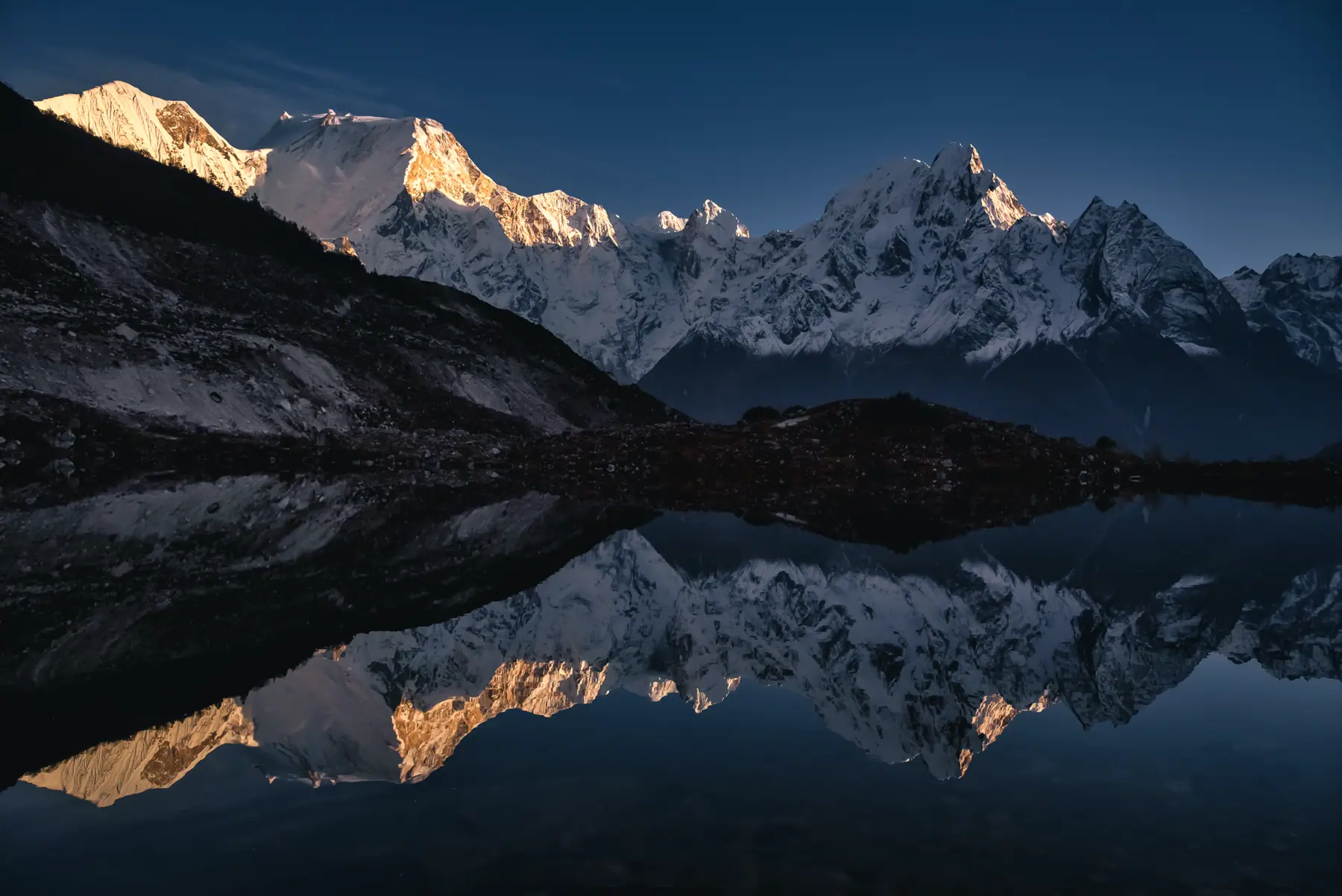
Photograph by Samdesherpa, CC BY-SA 4.0
The walk
The circuit follows the Budhi Gandaki gorge north from subtropical villages to Tibetan settlements at Samagaon and Samdo, close to the Tibetan border.
It is a restricted area, so trekkers walk with a licensed guide in a group of at least two. The lodges are simpler and the crowds much thinner than on the Annapurna Circuit.
The Larkya La is crossed from Dharamsala in a long day, then the trail drops to Bimthang and joins the Annapurna Circuit at Dharapani.
Starts from Soti Khola or Machha Khola, by jeep from Kathmandu
The route, stage by stage.
Fly it on the 3D map- ०१Machha Khola930 m
- ०२Jagat1,340 m · +410
- ०३Deng1,860 m · +520
- ०४Namrung2,630 m · +770
- ०५SamagaonTwo nights. Acclimatisation day3,530 m · +900
- ०६Samdo3,860 m · +330
- ०७Dharamsala4,460 m · +600
- ०८Larkya La5,106 m · +646
- ०९Bimthang3,720 m · −1,386
- १०Dharapani1,860 m · −1,860
Adapted from a photograph by Hendrikz, CC BY-SA 4.0
Permits
What you pay at the counter.
- Manaslu restricted area permitUS$100 for 7 days, Sep to Nov
- Manaslu Conservation Area permitNPR 3,000
- Annapurna Conservation Area permitNPR 3,000
Fees as published by the issuing office. Check them again before you travel.
Highlights
The Budhi Gandaki gorge
Samagaon and Birendra lake
Larkya La crossing
Bimthang beneath Manaslu's west face
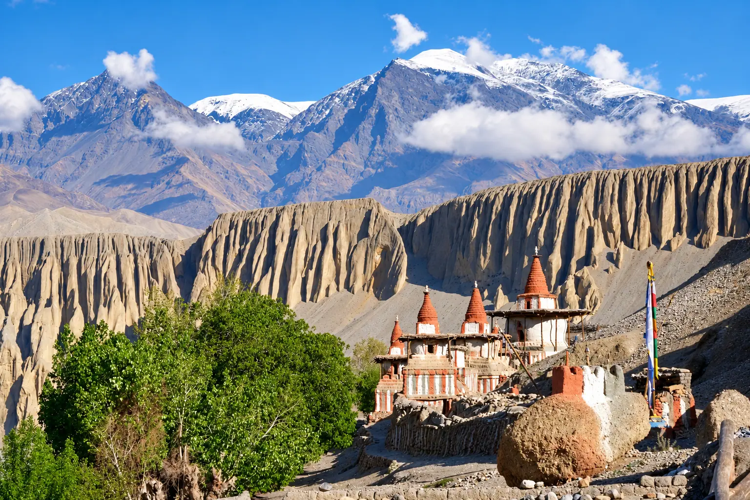
Next route
Upper Mustangमाथिल्लो मुस्ताङ