माथिल्लो मुस्ताङ · Mustang
Upper Mustang
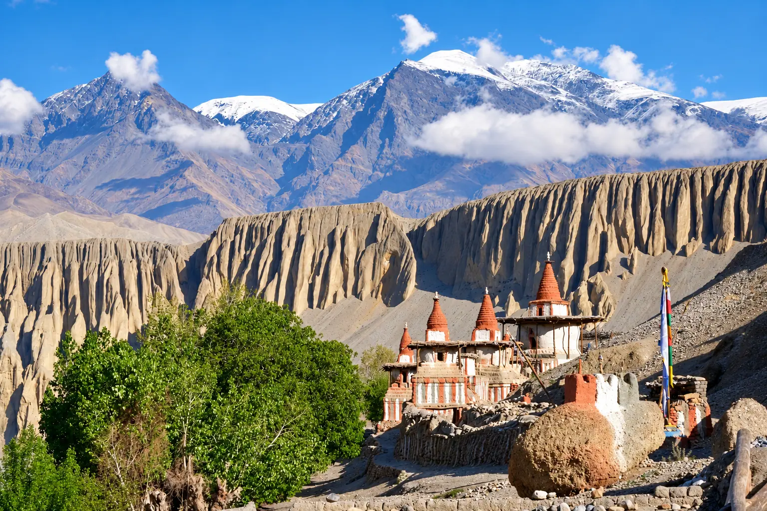
The walled city of Lo Manthang and the red cliffs of the old Kingdom of Lo.
Duration
10 to 14 days
Highest point
Passes above Ghami, 4,200 m
Grade
Moderate
Best season
May to Oct, including the monsoon
Total ascent
About 1,400 m
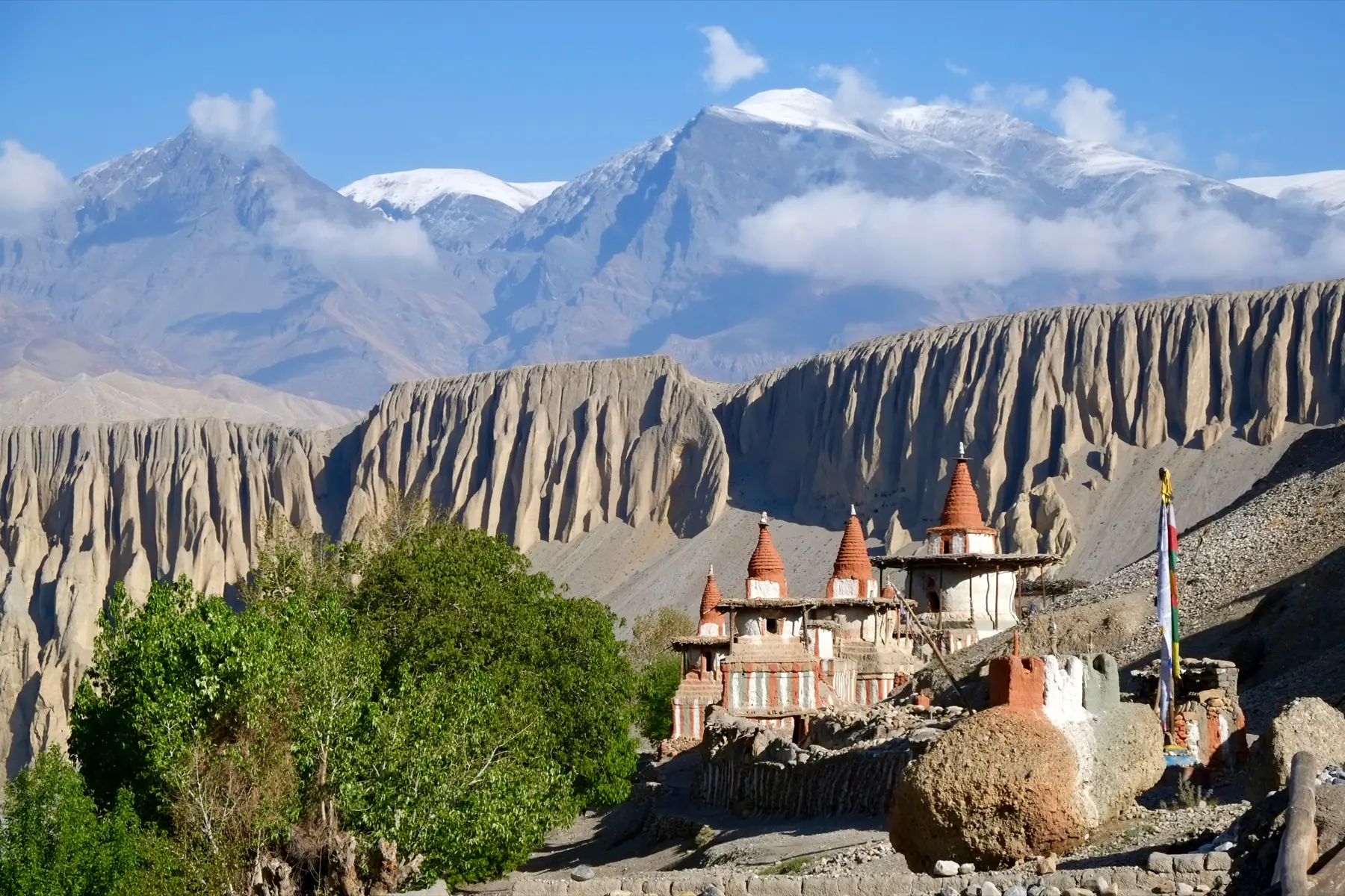
Photograph by Patricia Sauer, CC BY-SA 4.0
The walk
North of Kagbeni the valley turns dry and red. The trail crosses high windy passes between villages of whitewashed houses and fields of barley.
Lo Manthang is a walled city with fifteenth century monasteries, their murals restored over many years. Caves dug into the cliffs along the valley were used as homes and tombs thousands of years ago.
Mustang lies in the rain shadow of the Himalaya and is one of the few treks that can be walked in the summer monsoon.
Starts from Jomsom, by air or road from Pokhara
The route, stage by stage.
Fly it on the 3D map- ०१Jomsom2,720 m
- ०२Kagbeni2,810 m · +90
- ०३Chele3,050 m · +240
- ०४Syangboche3,800 m · +750
- ०५Ghami3,520 m · −280
- ०६Tsarang3,560 m · +40
- ०७Lo ManthangTwo nights. Day trip to Chhoser caves3,840 m · +280
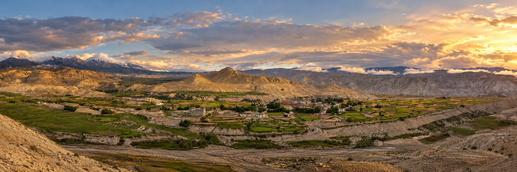
Adapted from a photograph by Mohan K. Duwal, CC BY-SA 4.0
Permits
What you pay at the counter.
- Upper Mustang restricted area permitUS$500 for 10 days
- Annapurna Conservation Area permitNPR 3,000
Fees as published by the issuing office. Check them again before you travel.
Highlights
Lo Manthang's walls and monasteries
The sky caves of Chhoser
Tiji festival in May
The red cliffs of Dhakmar
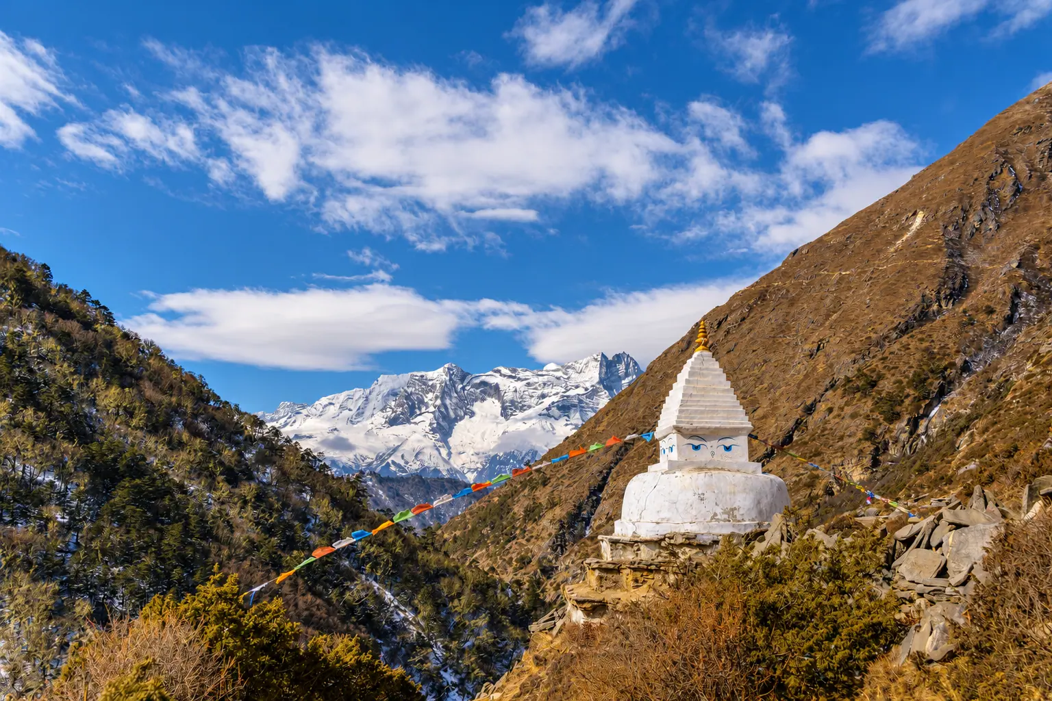
Next route
Everest Base Campसगरमाथा आधार शिविर